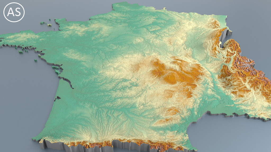
The graphic representation of three-dimensional maps many times can be an obstacle, below I illustrate broadly what are the techniques that I have used.
– grabbing map from scanned map or digital editing (Photoshop) . I create diffuse color map and normal map with a resolution of 5000 x 5000 pixel.
– trace the outlines of countries or regions (NURBS curves) or get vector file with outlines.
– create polygonal planar surfaces from curves.
– adding planar UV projection and load material with textures that I did.
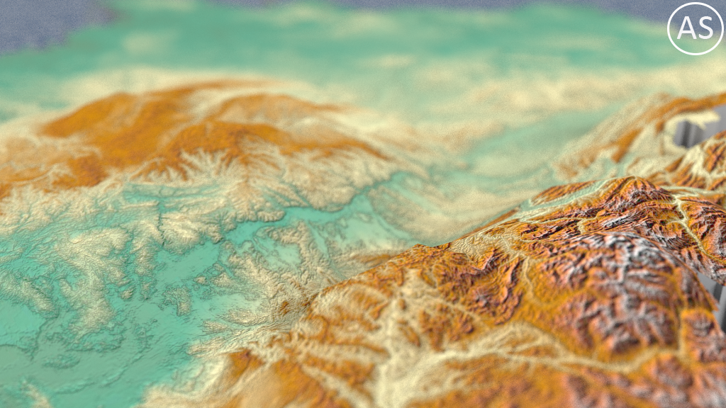
– Extrude and create relief based on relief map.
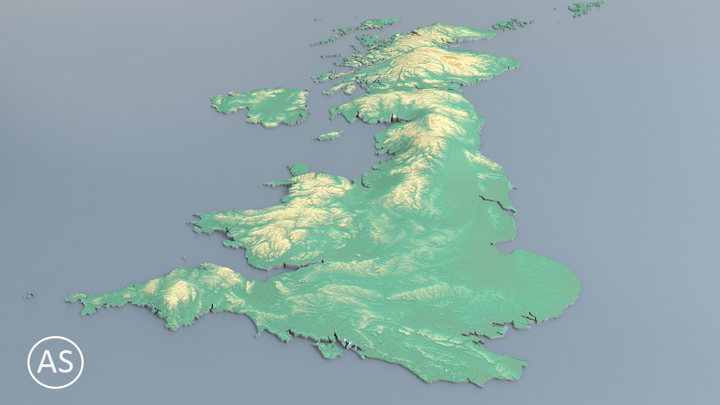
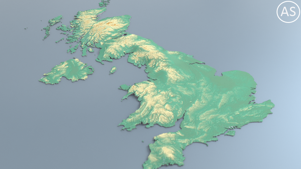
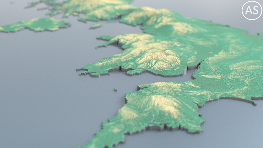
that’s the result
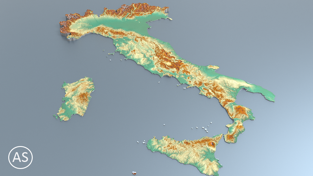
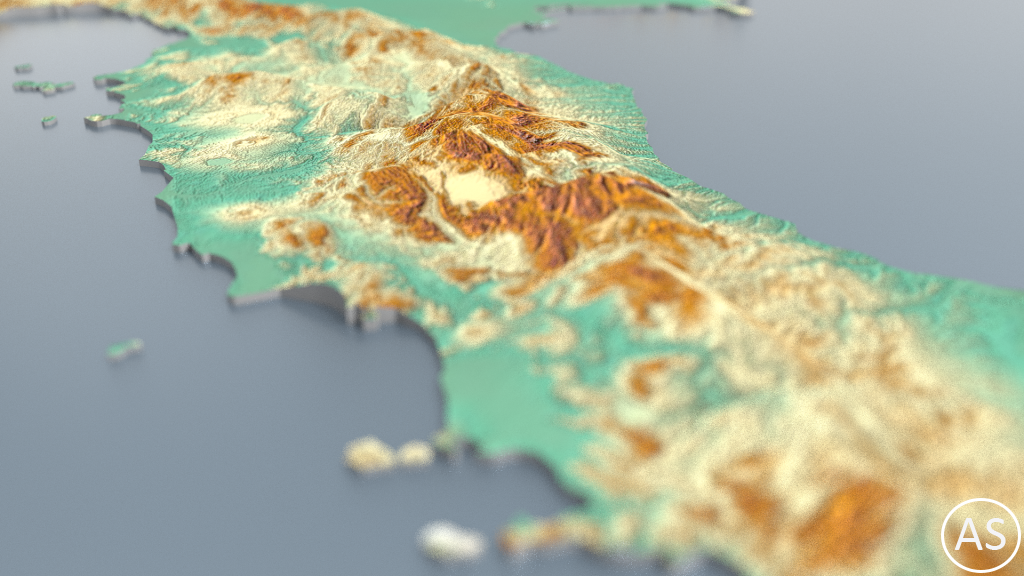
Italy
https://www.cgtrader.com/3d-models/architectural-e…
France
https://www.cgtrader.com/3d-models/architectural-e…
UK
https://www.cgtrader.com/3d-models/architectural-e…
Soon I’ll add more European Countries and I’ll create a collection that contains all Europe with 5k maps for country!!